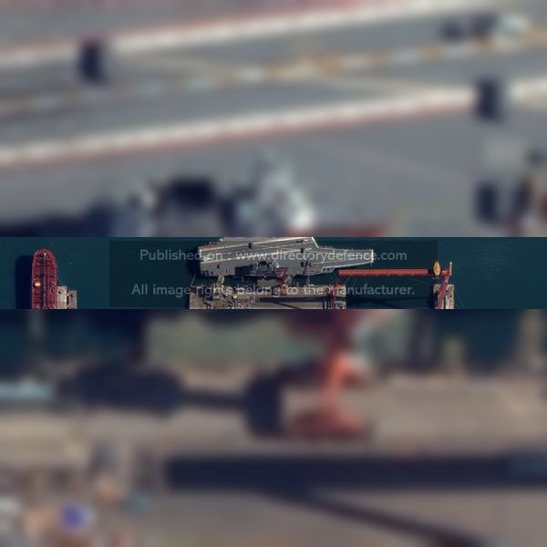
Product Name: High-resolution commercial imagery
Manufacturer Name: Maxar Technologies
Product Description: Satellite imagery is a critical tool for visualizing ground conditions. Whether you need a foundational map for an app or a comprehensive dataset for business intelligence, Maxar Intelligence offers both fresh high-resolution imagery and the world’s largest archive for historical analysis.
Country: United States
Status: Published
Main Category: Product Directory | Electro-Optics / Optronics
Sub-Categories: OPTICS / ELECTRO OPTICAL AND OPTRONICS SYSTEMS (LAND) | IMAGE AND VIDEO TRANSMISSION TECHNOLOGIES (LAND) | SATELLITES AND SPACE TEHCNOLOGIES (AERO) | LAND DEFENCE PRODUCTS


