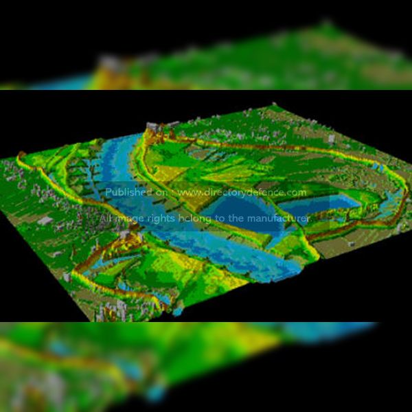
Product Name: LiDAR Services
Manufacturer Name: BAE Systems
Product Description: BAE Systems’ LiDAR Services provide high-precision 3D scanning and mapping solutions for a variety of industries, including defense, aerospace, and environmental monitoring. Utilizing advanced LiDAR technology, these services offer detailed terrain modeling, infrastructure mapping, and asset management, enabling accurate and reliable data acquisition. BAE Systems’ LiDAR solutions are designed to operate in challenging environments, delivering superior data quality and comprehensive production capabilities for both airborne and terrestrial applications. This makes it an ideal choice for applications requiring robust, high-resolution mapping and geospatial intelligence.
Country: United Kingdom
Status: Published
Main Category: Product Directory | Scaning / CBRN / Detection Technologies
Sub-Categories: IMAGING SYSTEMS (LAND) | TACTICAL TOOLS (LAND) | SOFTWARES (LAND) | LAND DEFENCE PRODUCTS


