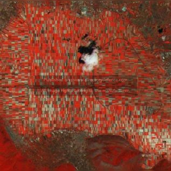
Product Name: Geoinformation
Manufacturer Name: Leonardo
Product Description: Leonardo’s Geoinformation services provide comprehensive solutions for the collection, analysis, and management of geographic data to support a wide range of applications, including environmental monitoring, urban planning, and disaster management. Utilizing advanced satellite imagery and remote sensing technologies, these services enable organizations to gain valuable insights into land use, resource distribution, and environmental changes over time. By integrating geospatial data with cutting-edge analytics tools, Leonardo empowers clients to make informed decisions based on accurate and timely information. This capability enhances operational efficiency and strategic planning across various sectors, ensuring that organizations can effectively respond to challenges in an increasingly complex world.
Country: Italy
Status: Published
Main Category: Product Directory | IT / Cyber / Software / Computing Technologies
Sub-Categories: GIS / GEOGRAPHIC INFORMATION SYSTEM (AERO) | SATELLITES AND SPACE TEHCNOLOGIES (AERO) | CYBER SECURITY DOMAIN AND MANAGEMENT SYSTEMS | AIR DEFENCE PRODUCTS


