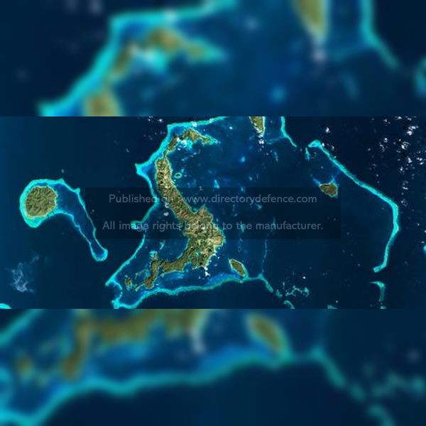
Product Name: Satellite imagery
Manufacturer Name: Airbus
Product Description: Airbus is a key player in Earth observation and climate monitoring, contributing to initiatives like the Copernicus program, which is the world’s most ambitious environmental and climate monitoring effort. This program encompasses a fleet of satellites designed for both “in-situ” measurements and derived services that address critical areas such as oceans, atmosphere, climate change, land management, security, and emergency response. By building advanced satellites and instruments, Airbus transforms geospatial data into actionable insights that support efforts to combat climate change and enhance our understanding of the planet. From short-term weather predictions to long-term global climate assessments, Airbus’s commitment to Earth observation plays a vital role in addressing the challenges posed by climate change.
Country: France
Status: Published
Main Category: Product Directory | Aircraft / Helicopters / UAVs / Space Systems
Sub-Categories: SATELLITES AND SPACE TEHCNOLOGIES (AERO) | TACTICAL TOOLS (LAND) | CYBER SECURITY DOMAIN AND MANAGEMENT SYSTEMS | AIR DEFENCE PRODUCTS


