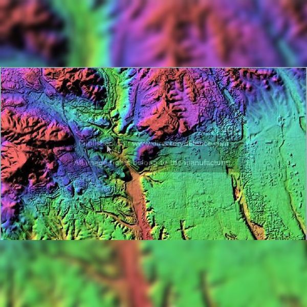
Product Name: Elevation Services
Manufacturer Name: BAE Systems
Product Description: BAE Systems’ Elevation Services provides advanced terrain modeling and elevation data solutions, enabling highly accurate and detailed representations of geographical features. These services enhance the understanding of terrain, offering critical insights for a variety of applications, including military operations, navigation, and infrastructure planning. By leveraging cutting-edge technology, BAE Systems ensures reliable and precise elevation data that supports decision-making processes, operational effectiveness, and strategic planning in complex environments. The service is designed to meet the needs of defense, aerospace, and commercial sectors, providing valuable insights for mission planning and execution.
Country: United Kingdom
Status: Published
Main Category: Product Directory | Radar / Sonar / Surveillance Systems
Sub-Categories: TACTICAL TOOLS (LAND) | GPS / GNSS SYSTEMS / GIS SYSTEMS (LAND) | SEA VEHICLES (FAST ATTACK CRAFTS) | LAND DEFENCE PRODUCTS


