Product Name: Geospatial Solutions
Manufacturer Name: BAE Systems
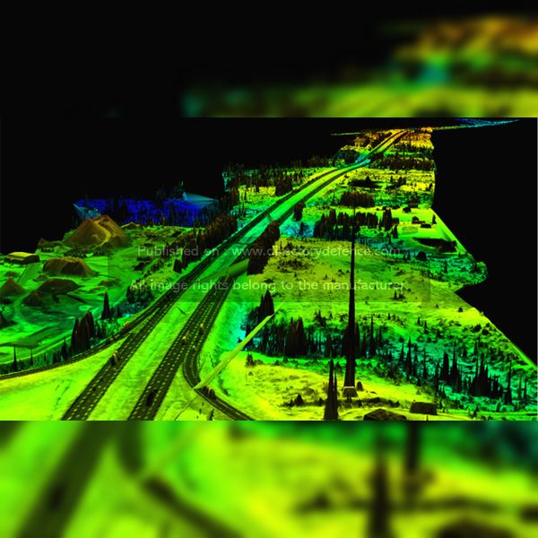
Product Description: BAE Systems’ Geospatial Solutions provides cutting-edge technologies designed to enhance situational awareness and support decision-making across various industries. These solutions leverage advanced mapping, imagery, and analytics tools, allowing users to gather, process, and interpret geospatial data effectively. Tailored for defense, security, and environmental monitoring, these solutions enable accurate terrain analysis, resource management, and mission planning in complex environments. With a focus on innovation, BAE Systems ensures that its geospatial solutions deliver precision, scalability, and integration, empowering organizations to tackle the most challenging operational tasks.
Country: United Kingdom
Status: Published
Main Category: Product Directory | IT / Cyber / Software / Computing Technologies
Sub-Categories: GIS / GEOGRAPHIC INFORMATION SYSTEM (AERO) | TACTICAL TOOLS (LAND) | SOFTWARES (LAND) | AIR DEFENCE PRODUCTS


